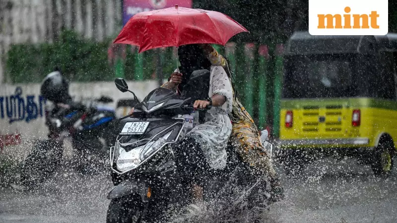
A significant weather system developing over the Bay of Bengal is poised to deliver intense rainfall across several parts of Tamil Nadu, with meteorological authorities issuing important alerts for multiple districts.
Weather System Intensifies Over Bay of Bengal
The Regional Meteorological Centre in Chennai has confirmed that a low-pressure area has formed over the southwest Bay of Bengal, specifically off the coast of Sri Lanka. This weather phenomenon is expected to influence rainfall patterns across Tamil Nadu starting today.
The weather department has issued an orange alert for four districts, indicating the likelihood of very heavy precipitation. The alert specifically covers Tiruvarur, Nagapattinam, and the Karaikal region, with predictions of rainfall measuring between 12 and 20 centimeters on Sunday.

District-wise Rainfall Predictions
Beyond the orange alert zones, five additional districts have been flagged for heavy rainfall. These include Ramanathapuram and Sivagangai, where residents should prepare for significant weather activity.
The capital city Chennai is among the areas expected to experience the effects of this weather system. The meteorological center has indicated that light to moderate rainfall accompanied by thunderstorms and lightning is likely at isolated places in several districts including:
- Ariyalur
- Cuddalore
- Mayiladuthurai
- Thanjavur
- Viluppuram
The union territory of Puducherry is also expected to receive similar weather patterns during this period.
Preparedness and Safety Measures
With the orange alert in effect, authorities are advising residents in the affected districts to take necessary precautions. The predicted very heavy rainfall between 12 and 20 cm could lead to waterlogging in low-lying areas and potential disruption to normal life.
The Regional Meteorological Centre continues to monitor the situation closely and will provide updates as the weather system evolves. Residents are encouraged to stay informed through official channels and avoid venturing into waterlogged areas or going out during intense thunderstorm activity.